

Greg Easson
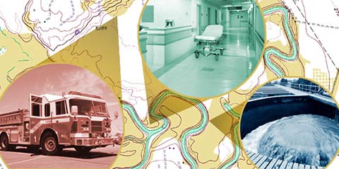
In addition to studying why and how levee seepage may occur, the Mississippi Mineral Resources Institute is helping Delta communities assess flood risk and mitigate disaster by building an integrated geospatial database of the region’s critical facilities.
Those critical facilities span from fire stations and hospitals to electric substations and waste treatment centers. Because the definition of a “critical facility” may differ from one county to the next, MMRI is working in each county to create consistent standards, so that in the event of a flood or other disaster, MEMA can make life-saving decisions cost effectively and quickly.
“The data will be given to MEMA so that they have it as input into their emergency plans for what to do in the event of a disaster,” Easson said. “MEMA needs consistency so it can come in and say: We need to mitigate, we need to fix this before it’s a problem. Infrastructure is critical, especially if there is a need for evacuation.”
Easson and his team are also studying the slight variations in topography that affect where floodwaters end up. Although it may seem counterintuitive, for some residents, it may be wiser to head toward the water during an evacuation due to subtle variations in elevation.
“In cooperation with one of the professors in the Department of Geological Engineering, we’re working on geospatial modeling to look at areas that are likely to flood based on topography,” Easson said. “You get out in the Delta and you think, ‘Man, this is flat,’ but it has some variations.”
While the geospatial databases MMRI creates are extremely important before, during and after natural disasters, paper maps are essential, too. Funding from the AmericaView program has allowed Easson and his team to provide counties with large-scale maps showing key geospatial data.
Besides his levee projects, Easson is working with students to develop an online database related to Mississippi’s oil and gas industry. Julius Ridgeway, an alumnus from one of the first graduating classes of the Department of Geology and Geological Engineering, donated funding to set up a repository for oil and gas well logs from the 1940s and ’50s donated by industry veterans. UM possesses the largest well log database in the state.
Because there is growing interest in using hydrofracking to access the energy reserves of the Tuscaloosa Marine Shale, the data is valuable to the oil and gas industry. Further, working with the data provides a unique educational opportunity.
“A great number of our students are interested in working in the oil and gas industry,” Easson said. “By the fact that we have this tremendous digital database, this project could make a major impact on the economics of the oil and gas industry in Mississippi.”
Another project related to economic opportunity is MMRI’s testing of Mississippi’s sand resources. The goal is to determine whether Mississippi sand may be an asset to the fracking industry. Sands used in the fracking process must be a certain size and shape. Most often, the sand used in fracking is mined in Wisconsin and must be moved by barge or road to fracking sites. If Mississippi sands can be used, the economic potential is high.
“It could be a big market,” he said. “The sand operators just want to know, ‘Can we sell it?’ so our research is to answer the question. We’ll probably sample 40 or 50 pits and do the analysis.”


